

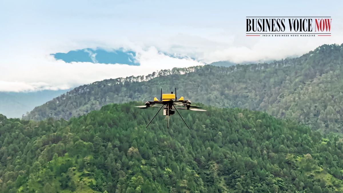
Mumbai, October 13: Drone startup ideaForge Technology Limited has won an order from the Survey of India for its aerial mapping Q6 V2 drones. Though the number of drones to be supplied hasn’t been revealed, the company’s drones will be used to support the national mapping agency’s large scale surveying and geospatial applications across diverse geographical terrain.
The Q6 V2 unmanned aerial vehicles (UAVs) will be used to deliver high precision photogrammetry, land mapping and survelliance for the Survey of India, with centimeter-level horizontal and vertical accuracy.
These drones, launched in August last year, weigh under 7kg and offer payloads including thermal detection, hyperspectral sensing, photogrammetry and oblique imaging.
“The adoption of UAVs in geospatial applications is creating a more efficient way to collect the aerial data that informs how we plan, develop, and manage our physical environment. Our engagement with the Survey of India reflects the growing relevance of indigenous UAV technology in specialised applications where reliable and timely data is important. At ideaForge, we are focused on building platforms that can deliver dependable performance across real-world operating environments, and we see significant potential for UAV-enabled mapping and geospatial intelligence across government and enterprise applications.” Mr. Somil Gautam, Associate Director – Enterprise Business, ideaForge Technology Ltd., said in a report.
With this procurement, ideaForge has showcased its capabilities to meet government requirements for drones, with its UAVs also being used for the central government’s SVARMITVA Scheme as well.
